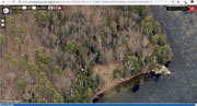
| Beach Images |
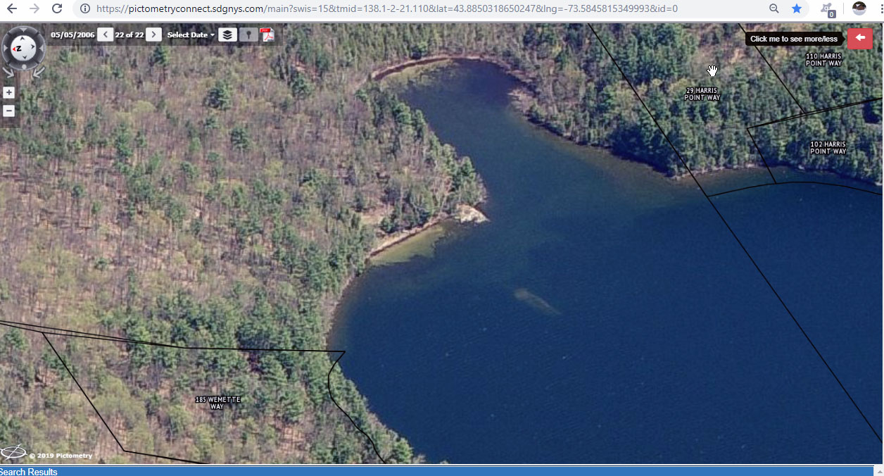
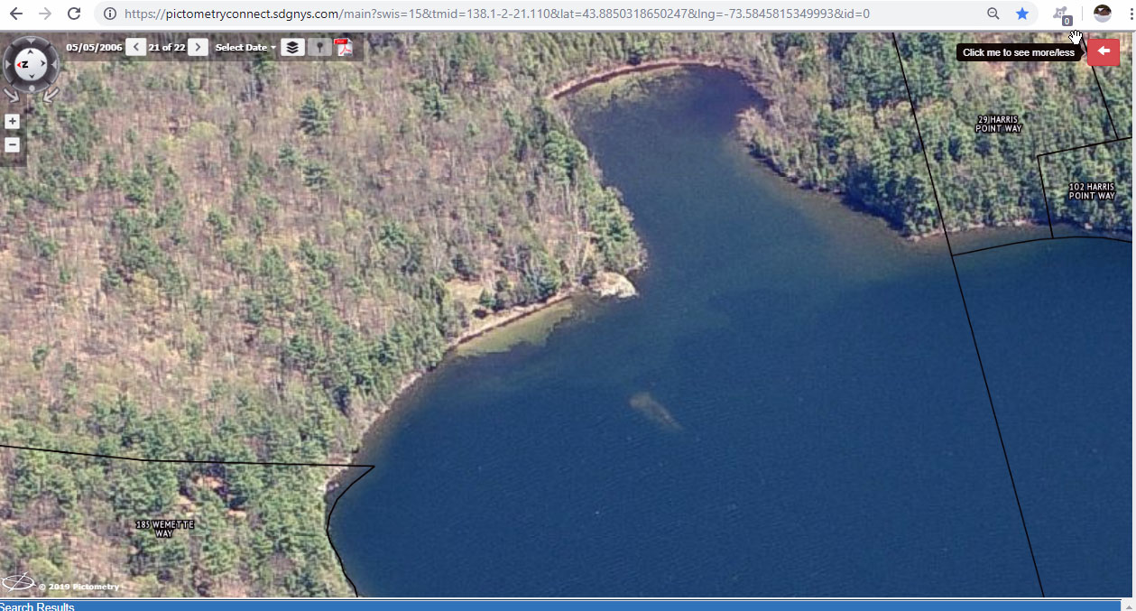
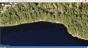
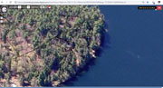
2006 beach w rock and milfoil GIS Viewer
 |
2010 beach w rock and milfoil GIS Viewer
 |
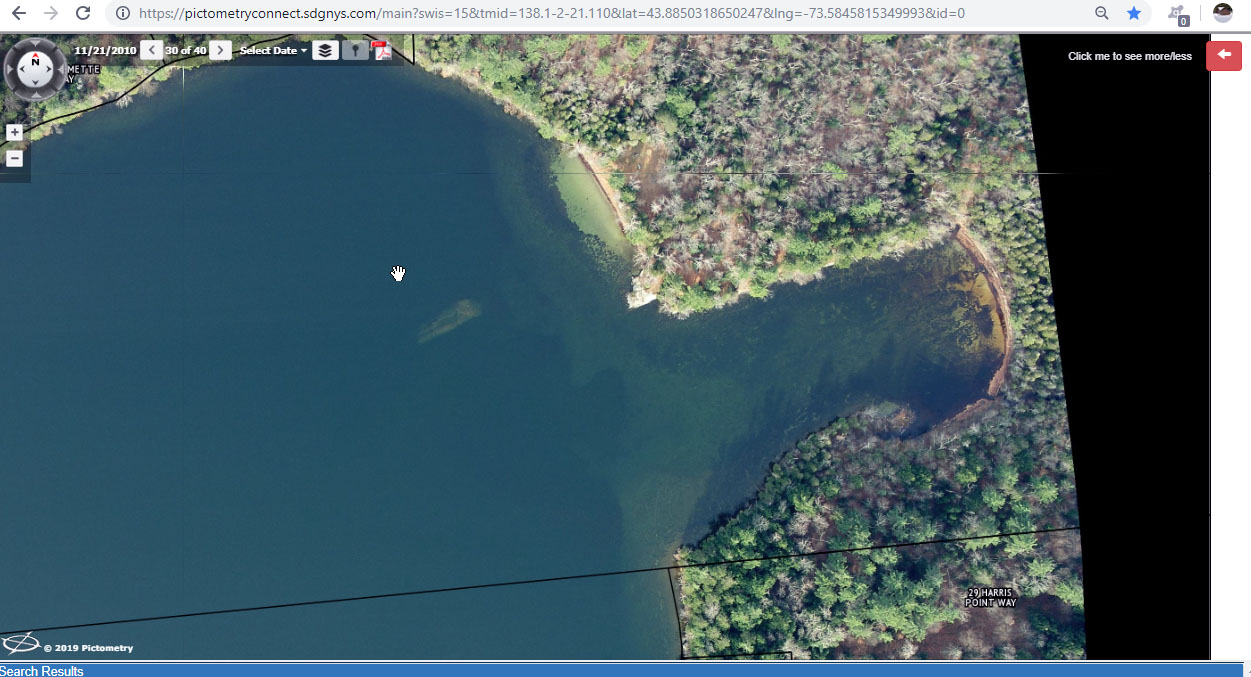
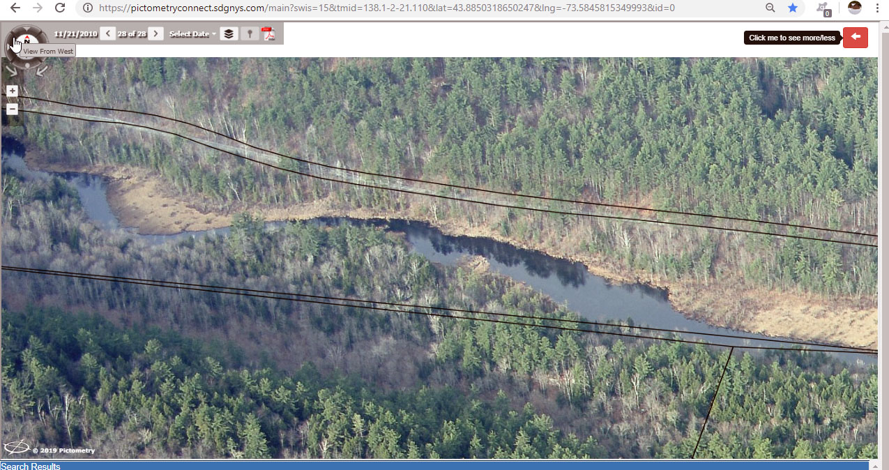
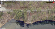
2010-11-21 beach overhead rock and milfoil GIS Viewer
 |
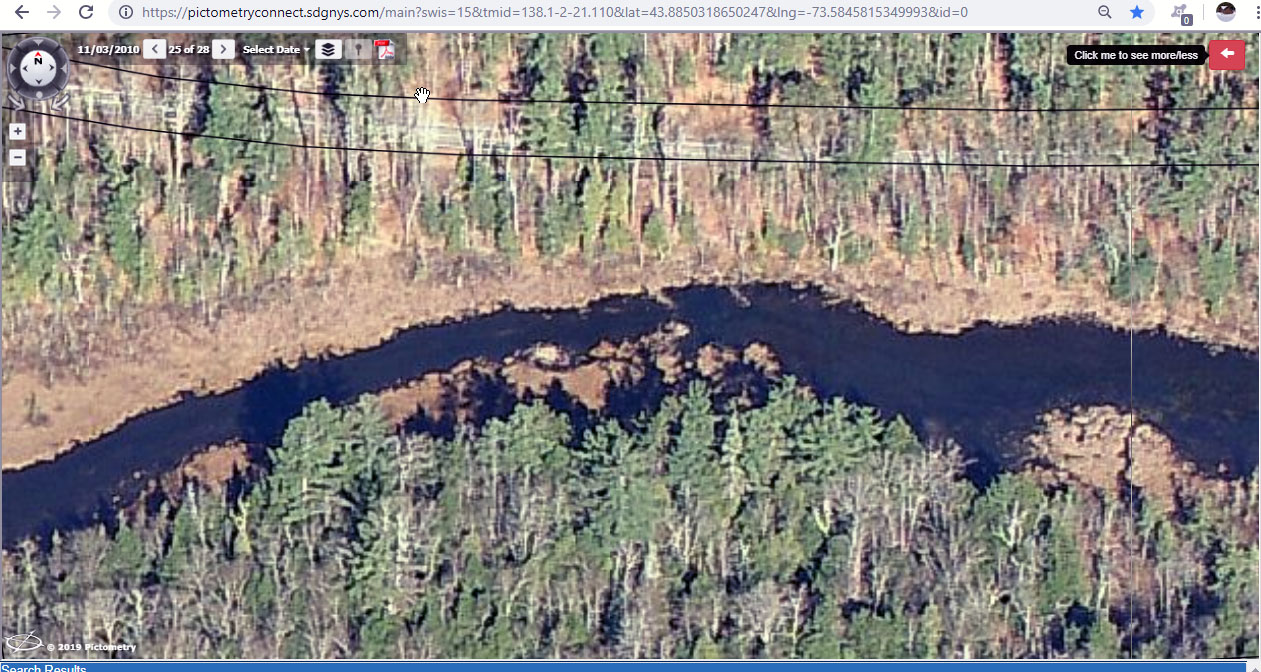
2010-11-21 beach w milfoil GIS Viewer
 |
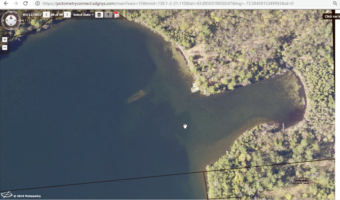
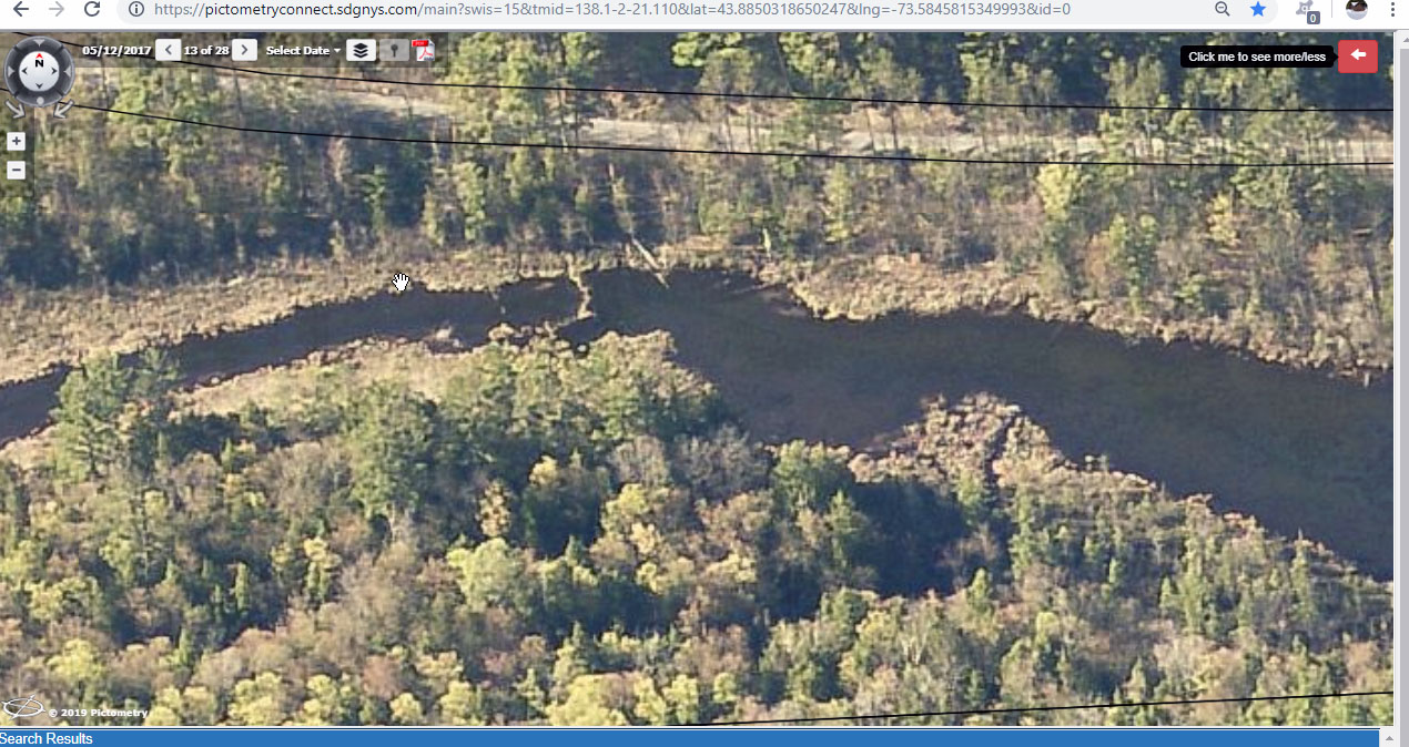
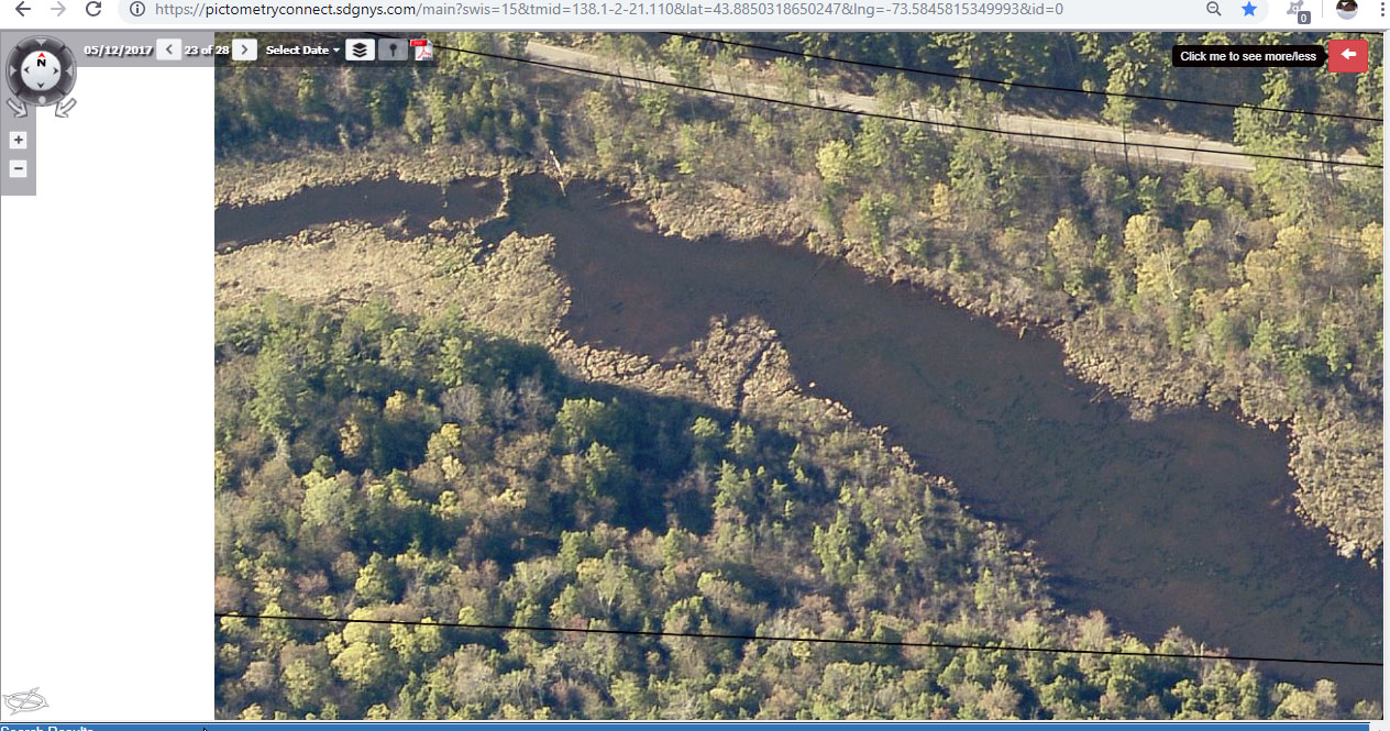
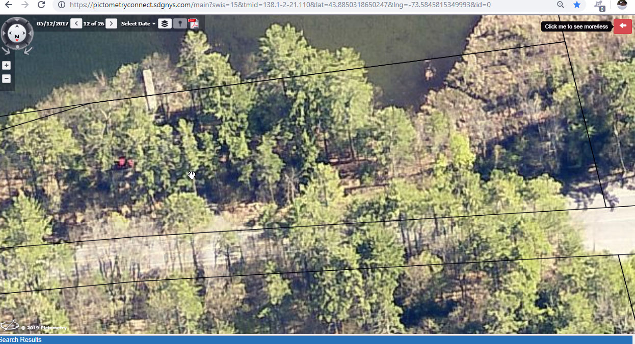
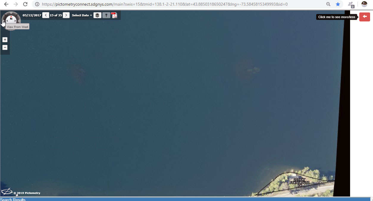
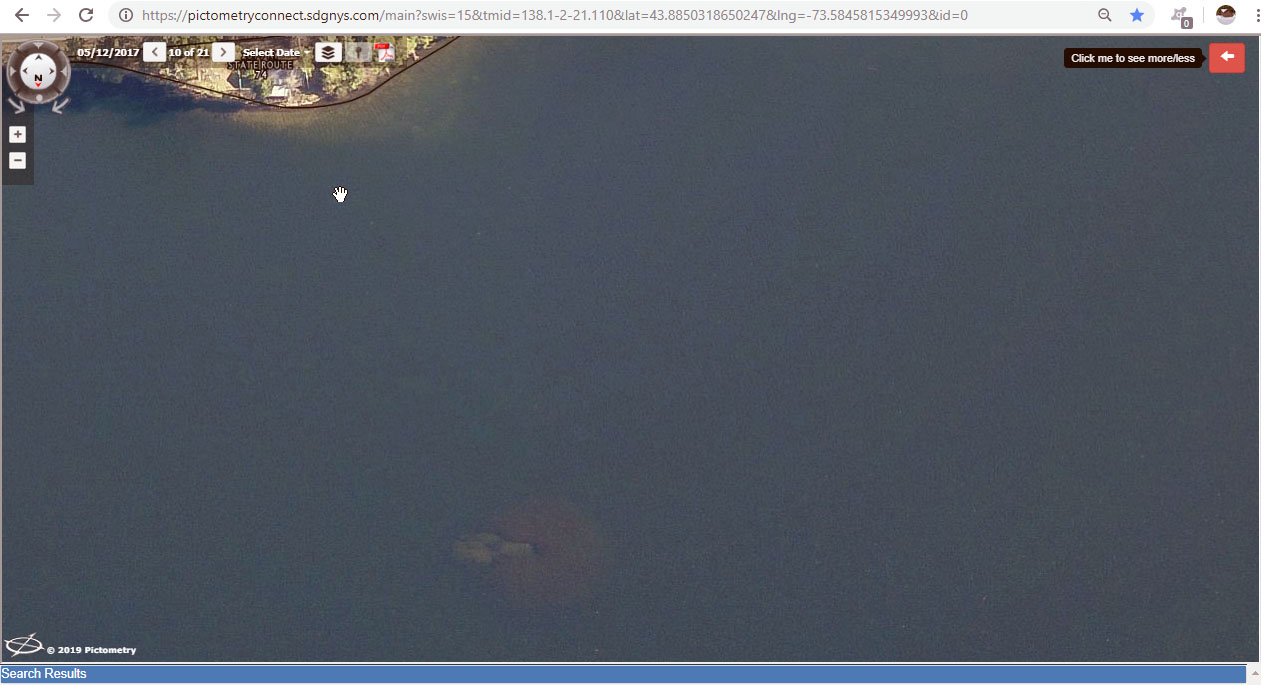
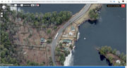
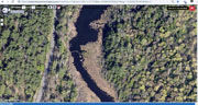
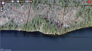
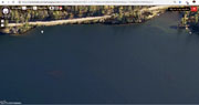
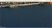
2017-5-12 Beach overview w rock and milfoil GIS Viewer
 |
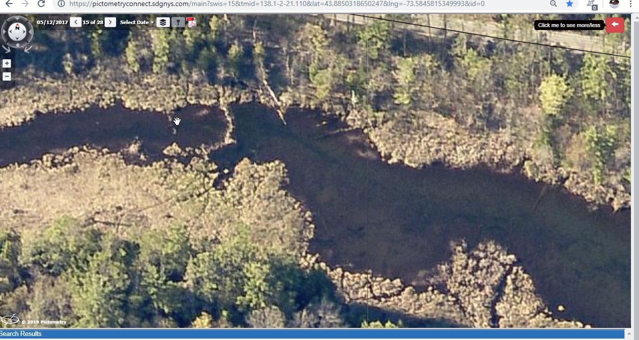
2017-5-12 beach rock and milfoil overhead GIS Viewer
 |
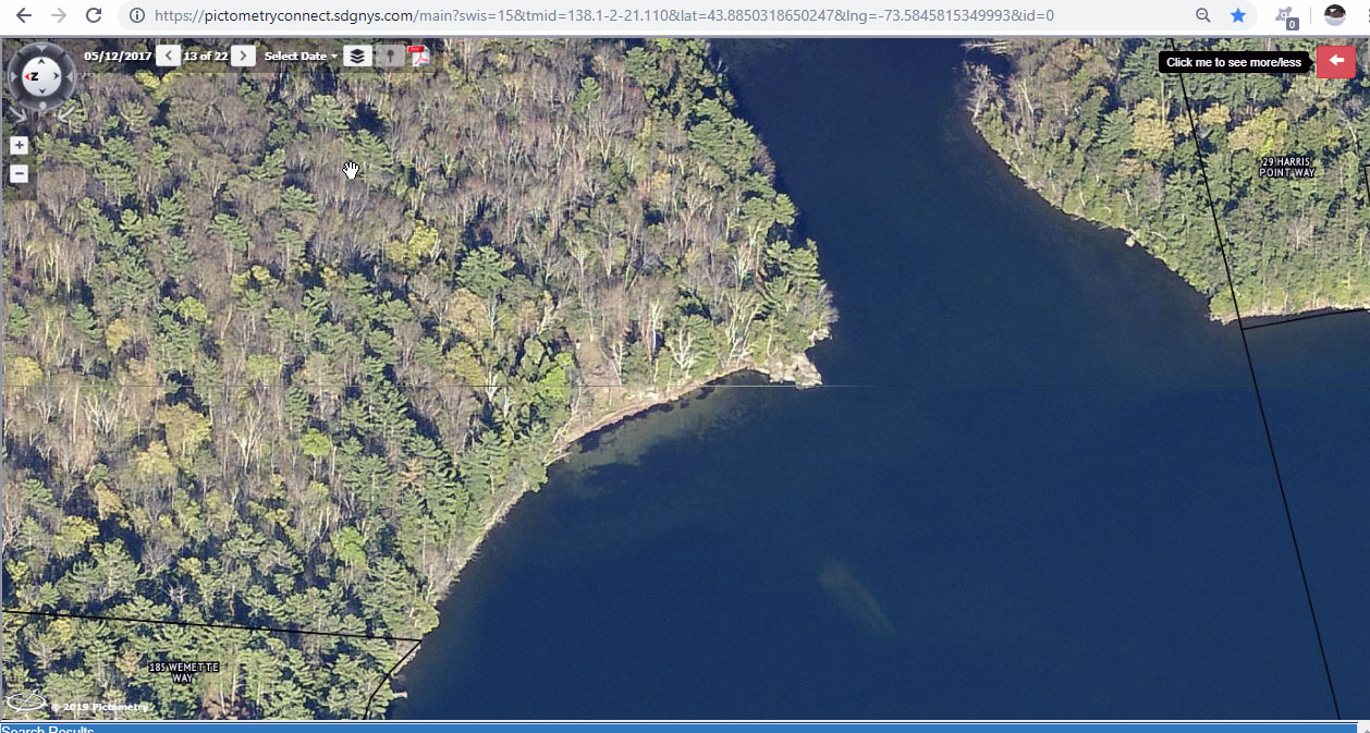
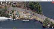
2017-5-12 beach w rock and milfoil GIS Viewer
 |
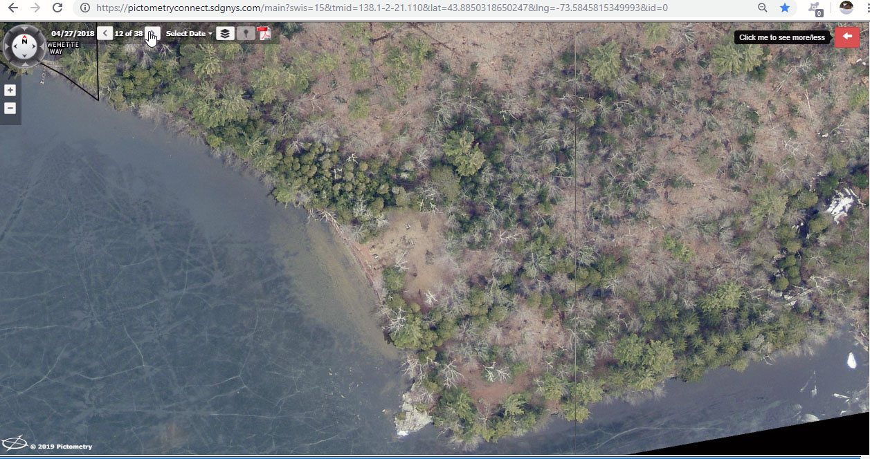
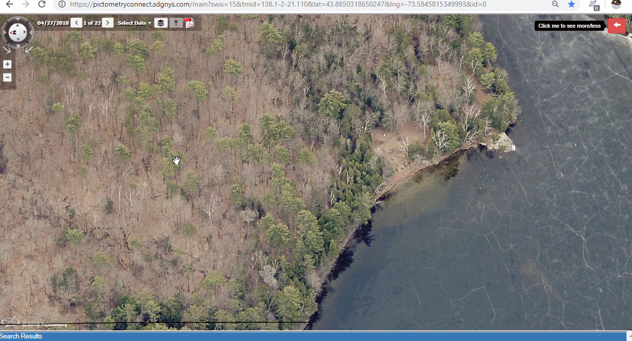
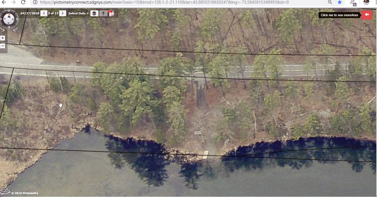
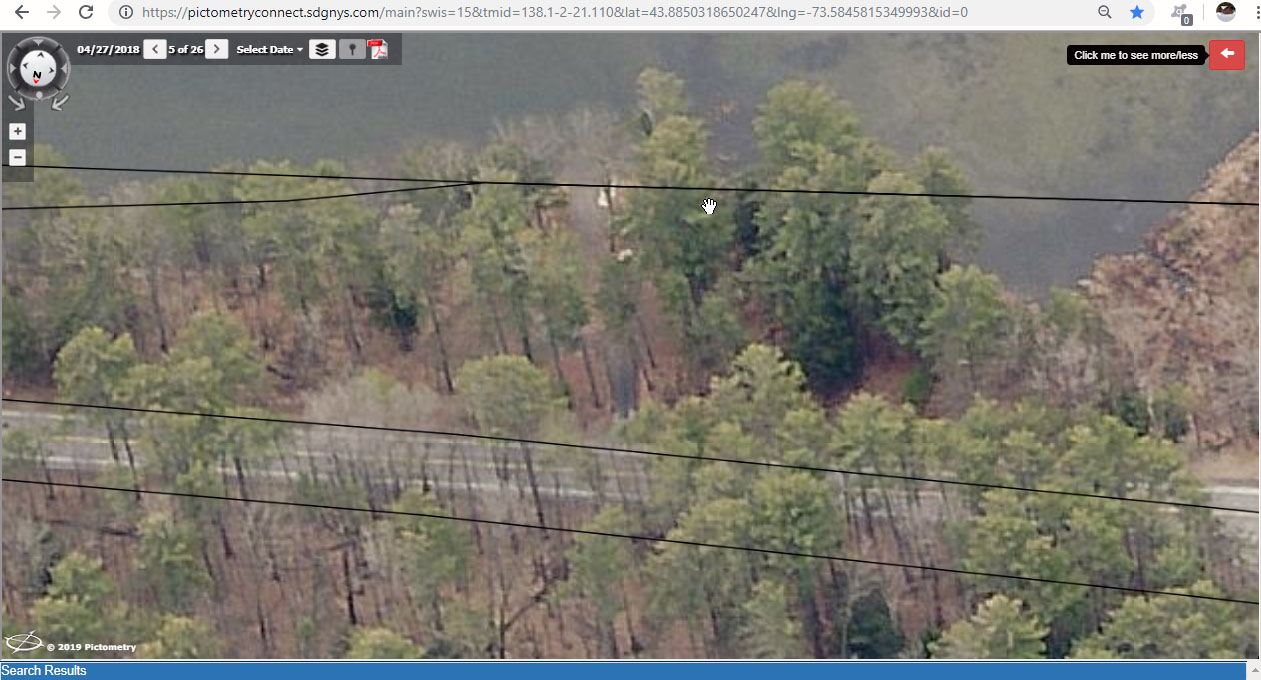
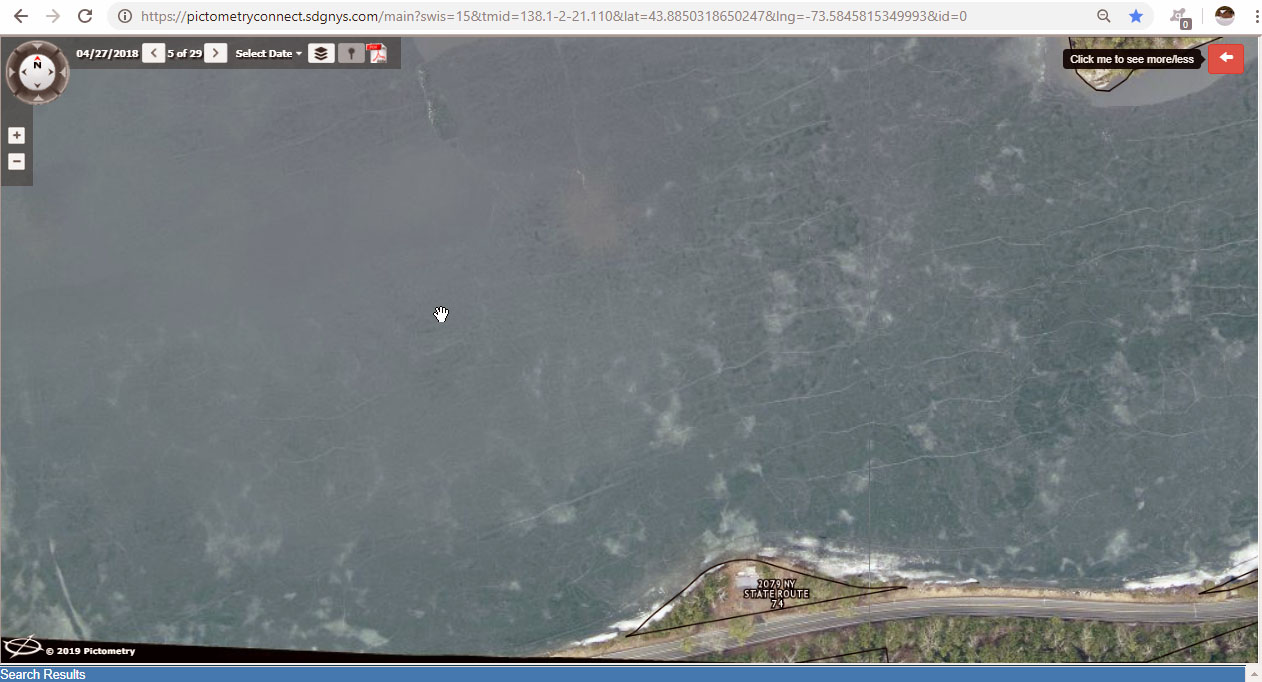
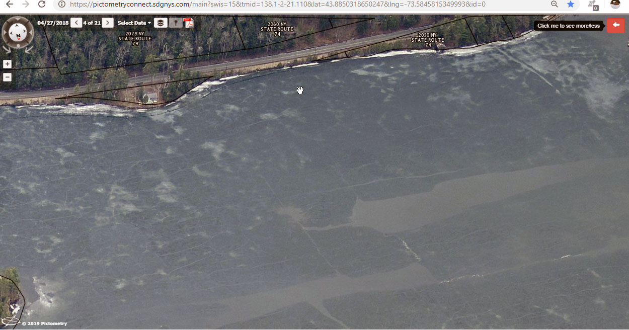
2018-4-27 beach direct overhead GIS Viewer
 |
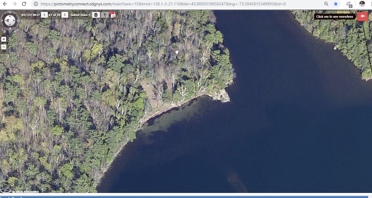
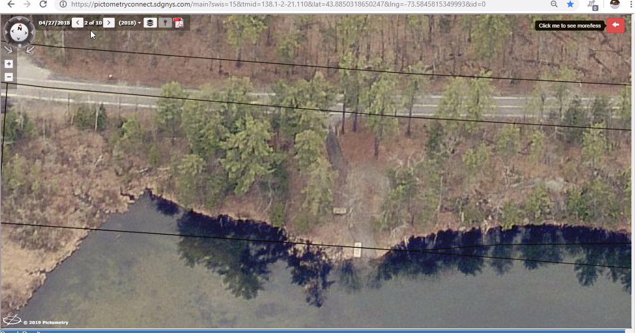
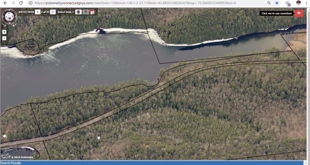
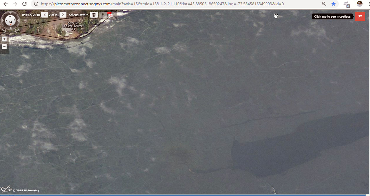
2018-4-27 beach overhead 1-GIS Viewer
 |
2018-4-27 beach overhead west property edge shown GIS Viewer
 |
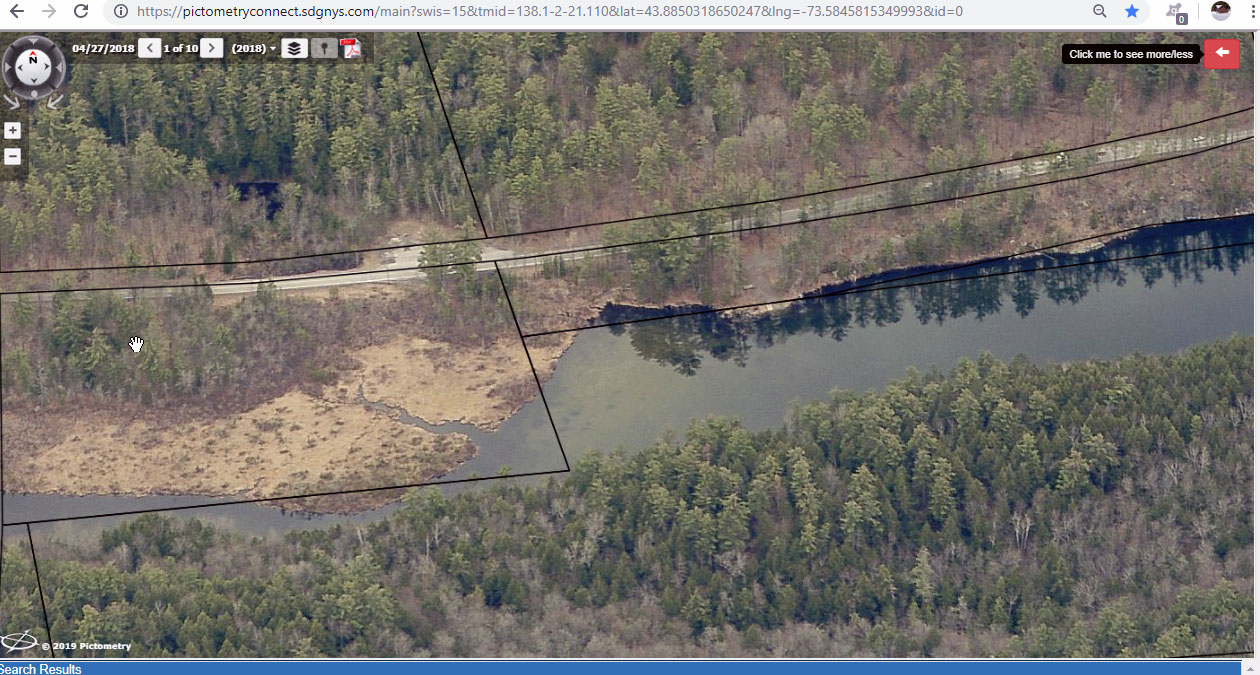
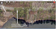
2018-4-27 Beach with property markers GIS Viewer
 |
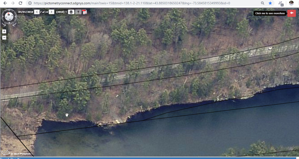
2018-4-27 beach zoom view 2-GIS Viewer
 |
2018-4-27 beach zoom view 3-GIS Viewer
 |
2018-4-27 beach zoom view 5-GIS Viewer
 |
2018-4-27 beach zoom view GIS Viewer
 |
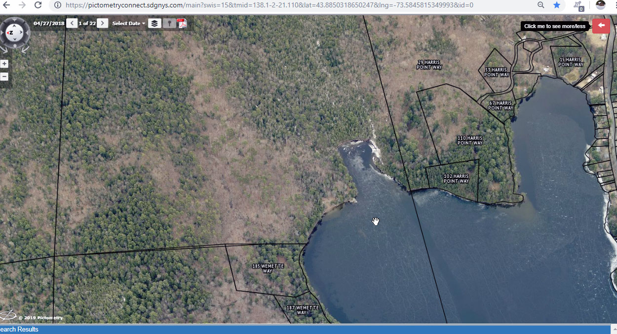
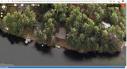
2018-4-27 EL Beach property overview GIS Viewer
 |
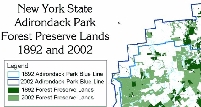
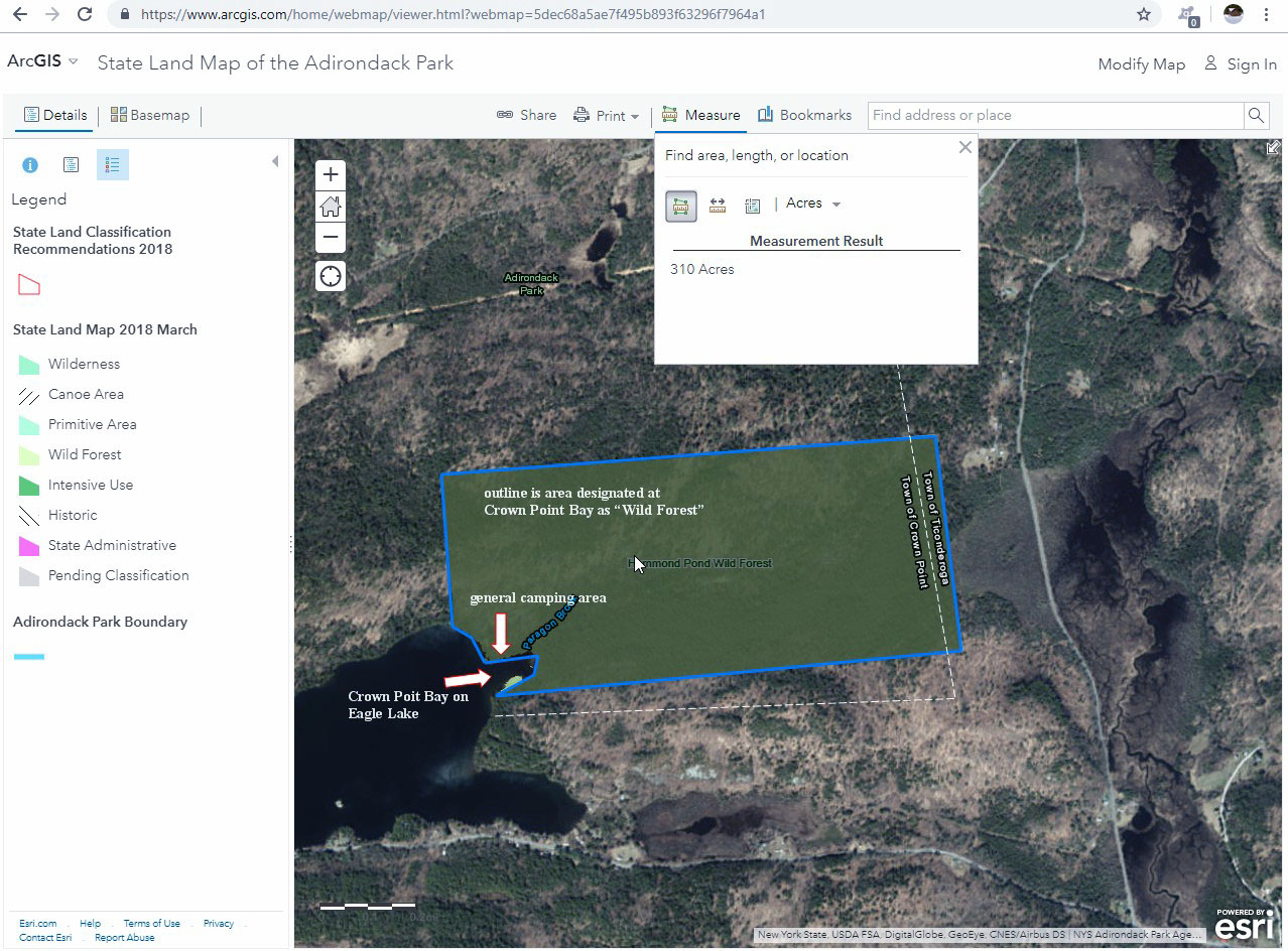
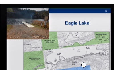
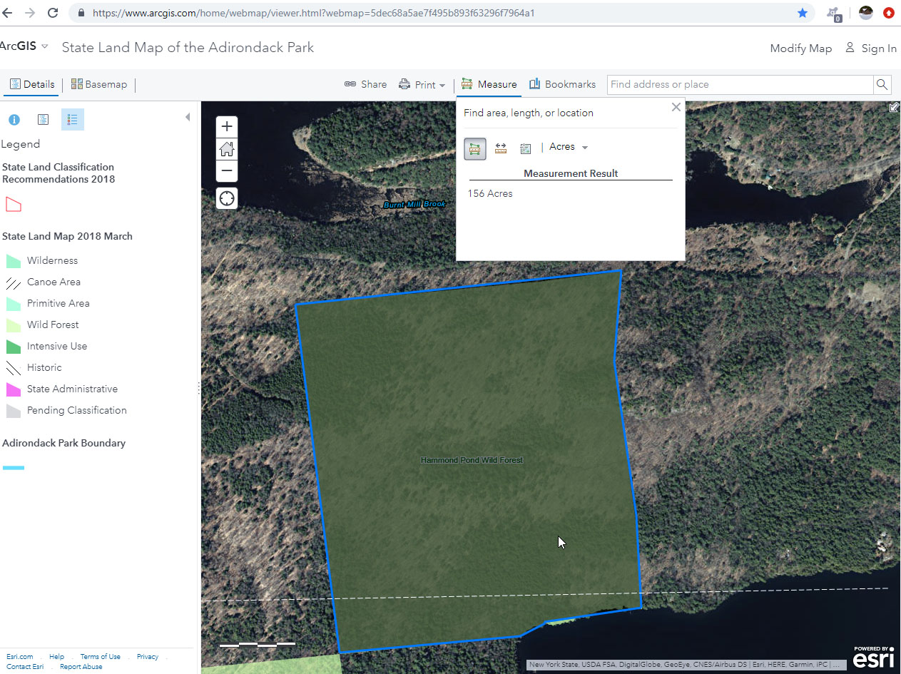
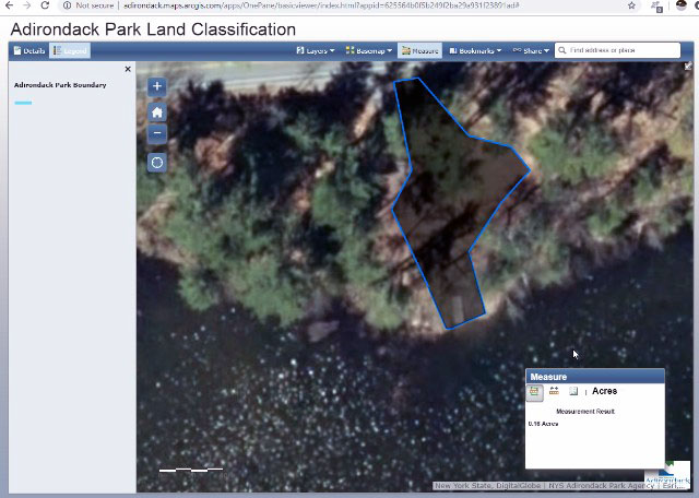
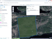
Beach property all acre measurement 10_17_11-ArcGIS - State Land Map of the Adirondack Park
 |
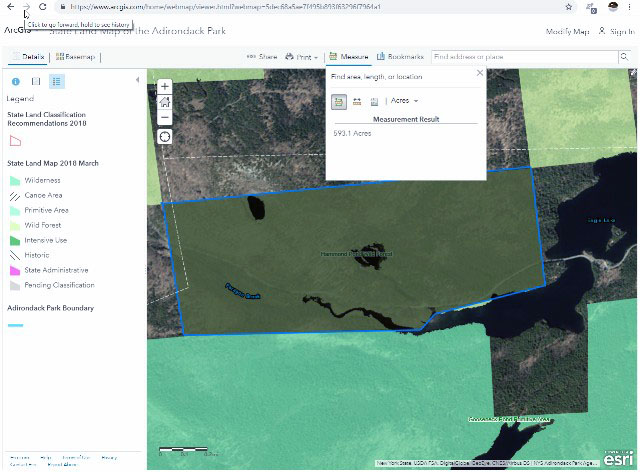
Beach property all acre measurement 10_17_11-ArcGIS - State Land Map of the Adirondack Park_1
 |
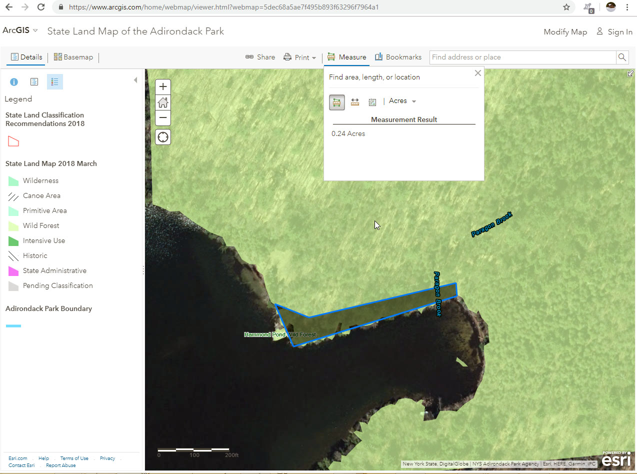
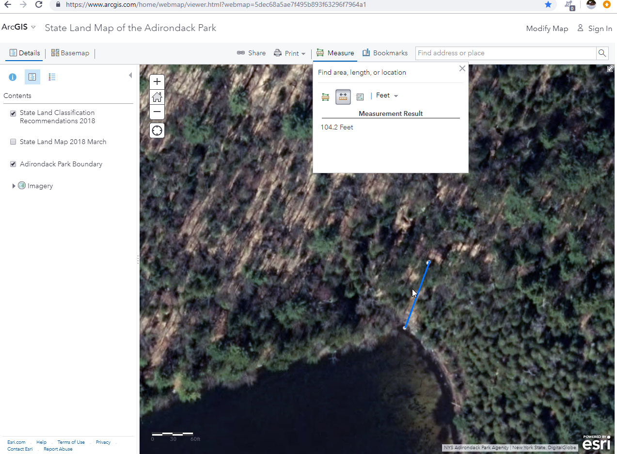
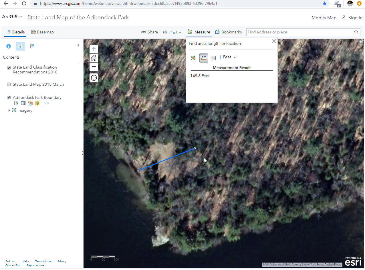
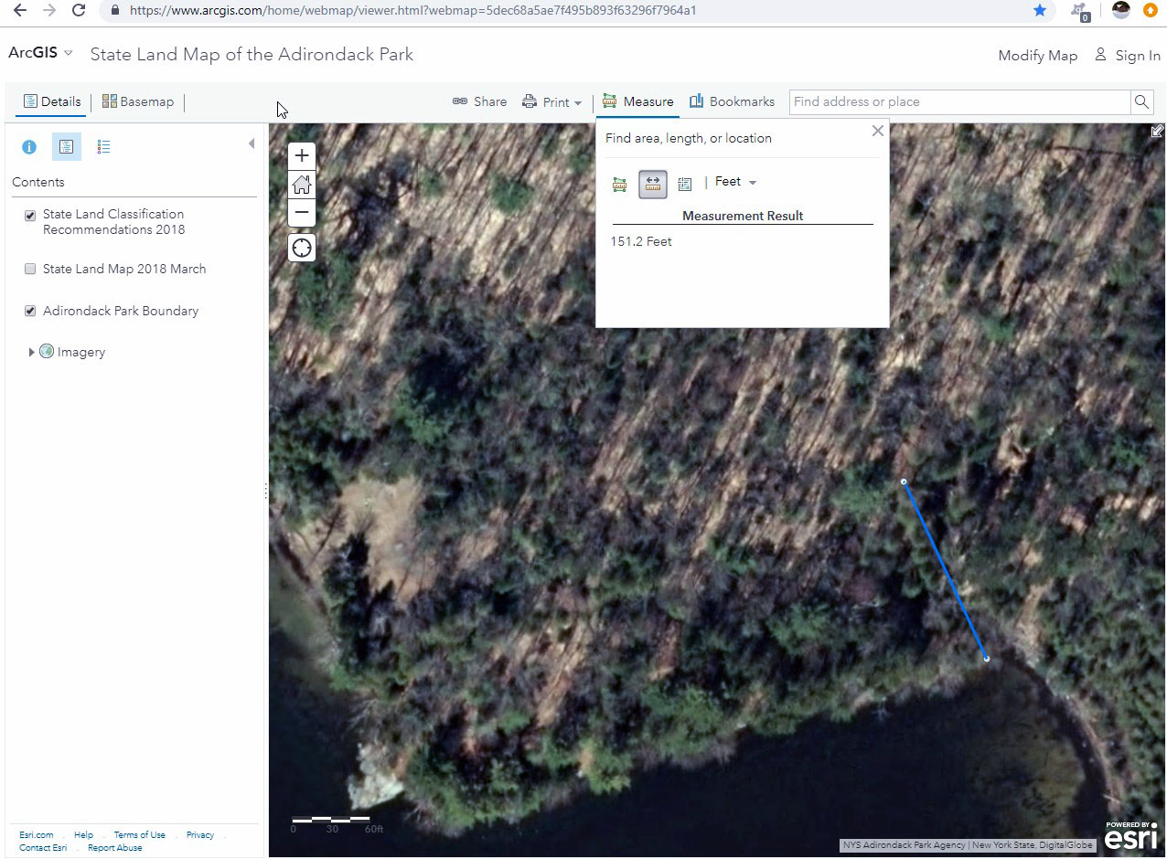
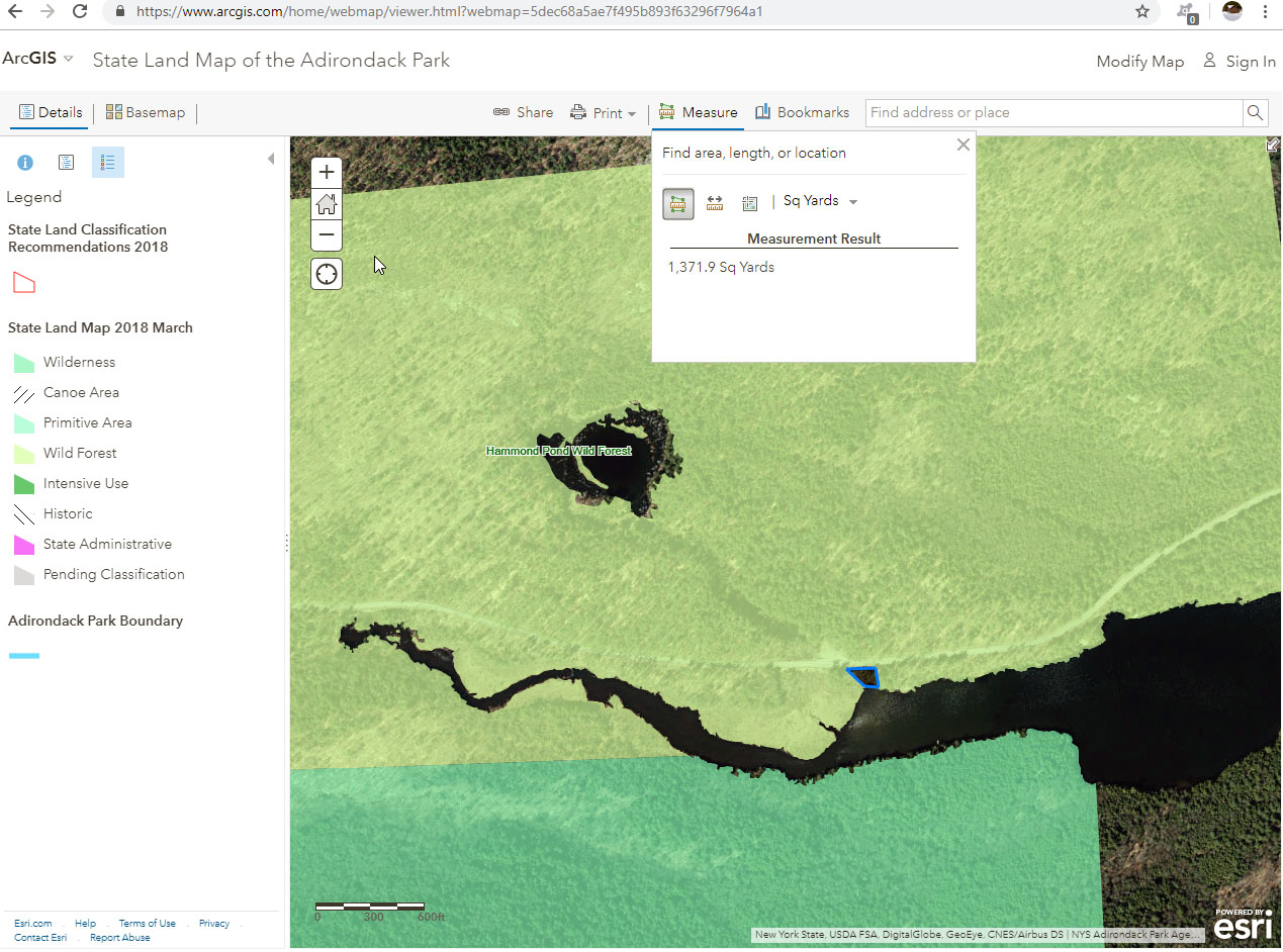
Beach property site specific acre measurement 10_17_11-ArcGIS - State Land Map of the Adirondack Park
 |
Beach property site specific acre measurement 10_17_11-ArcGIS - State Land Map of the Adirondack Park_1
 |
| Beach Property |
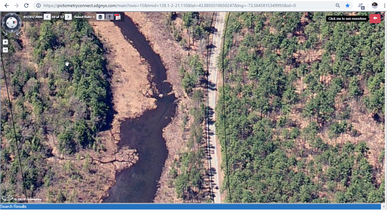
2006-5-5 Wick boat house GIS Viewer
 |
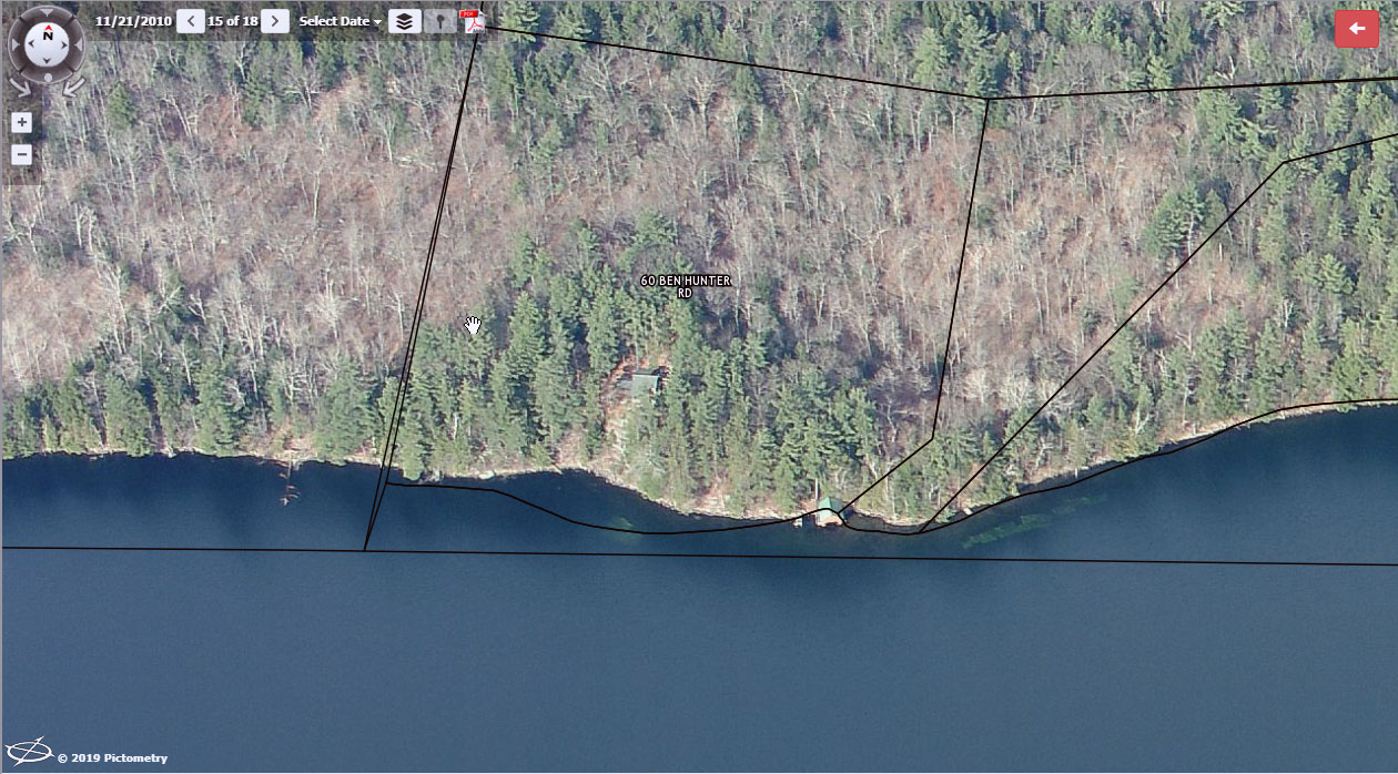
2010-11-21 Loose old dock GIS Viewer
 |
2010-11-21 Stubbing former bar with little house GIS Viewer
 |
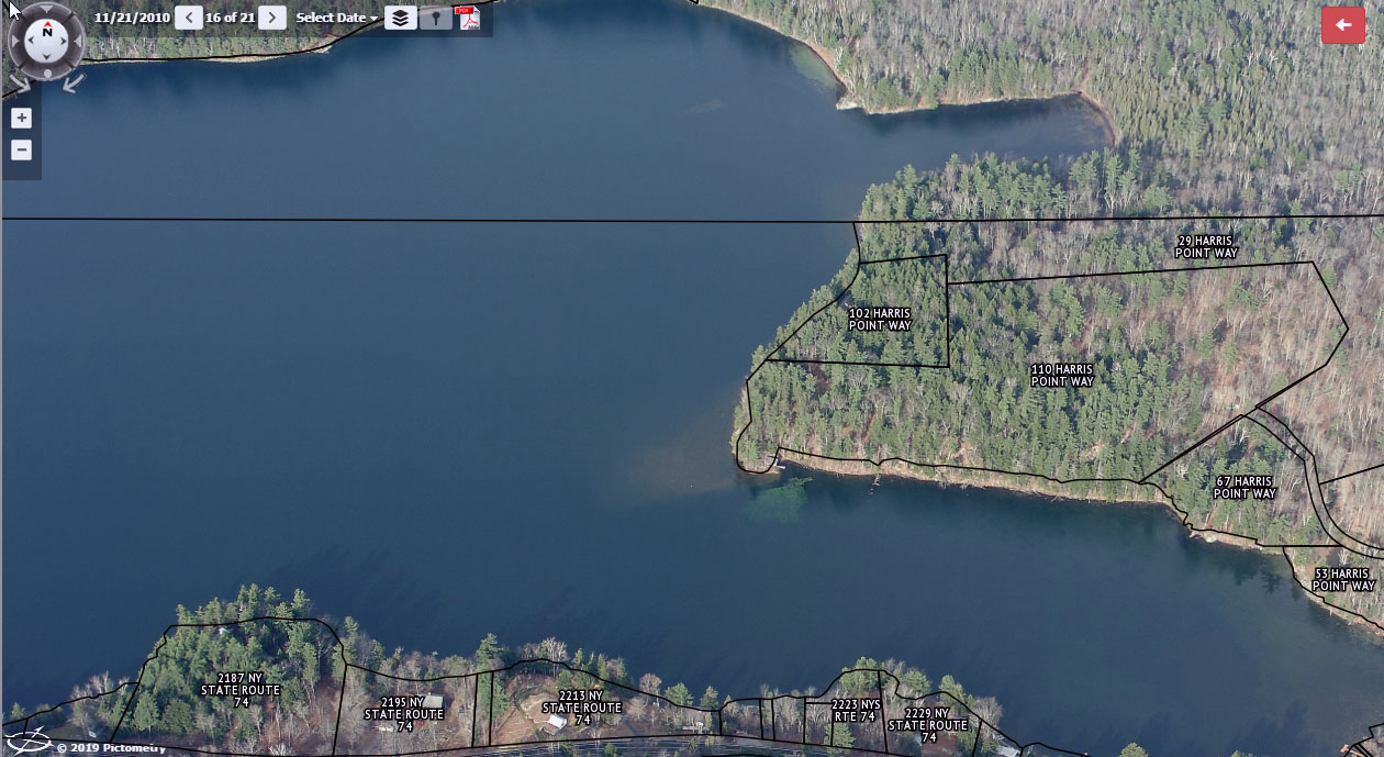
2017-5-12 Loose new dock float in the water GIS Viewer
 |
2017-5-12 Stubbing former bar without little house GIS Viewer
 |
2017-5-12 Wicks location of boat house GIS Viewer
 |
2018-4-27 Alden with work float GIS Viewer
 |
2018-4-27 Lisle showing building on property GIS Viewer
 |
2018-4-27 Loose new dock with side deck GIS Viewer
 |
2018-4-27 Stubbing former bar looking west GIS Viewer
 |
2018-4-27 Stubbing former bar without little house GIS Viewer
 |
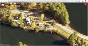
2018-4-27 Wicks location of boat house GIS Viewer
 |
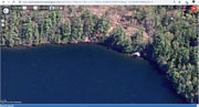
| Beaver Dam Images |
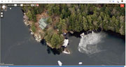
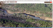
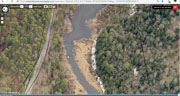
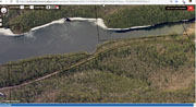
2006-5-5 beaver dam at channel overview GIS Viewer
 |
2006-5-5 beaver dam at channel GIS Viewer
 |
2010-11-21 beaver dam at channel 1-GIS Viewer
 |
2010-11-3 beaver dam at channel 1-GIS Viewer
 |
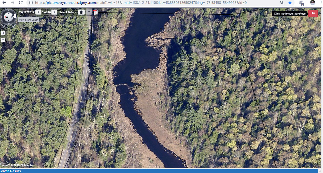
2017-5-12 beaver dam at channel 2-GIS Viewer
 |
2017-5-12 beaver dam at channel 3-GIS Viewer
 |
2017-5-12 beaver dam at channel 4-GIS Viewer
 |
2017-5-12 beaver dam at channel 5-GIS Viewer
 |
2017-5-12 beaver dam at channel 6-GIS Viewer
 |
2017-5-12 beaver dam at channel 7-GIS Viewer
 |
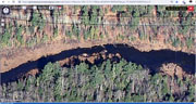
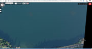
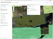
2017-5-12 center of the lake milfoil close up GIS Viewer
 |
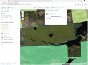
2017-5-12 center of the lake milfoil GIS Viewer
 |
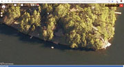
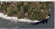
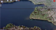
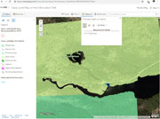
2017-5-12 south shore of lake GIS Viewer
 |
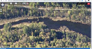
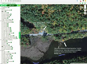
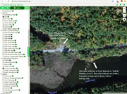
2017-5-12 beaver dam in channel 1-GIS Viewer
 |
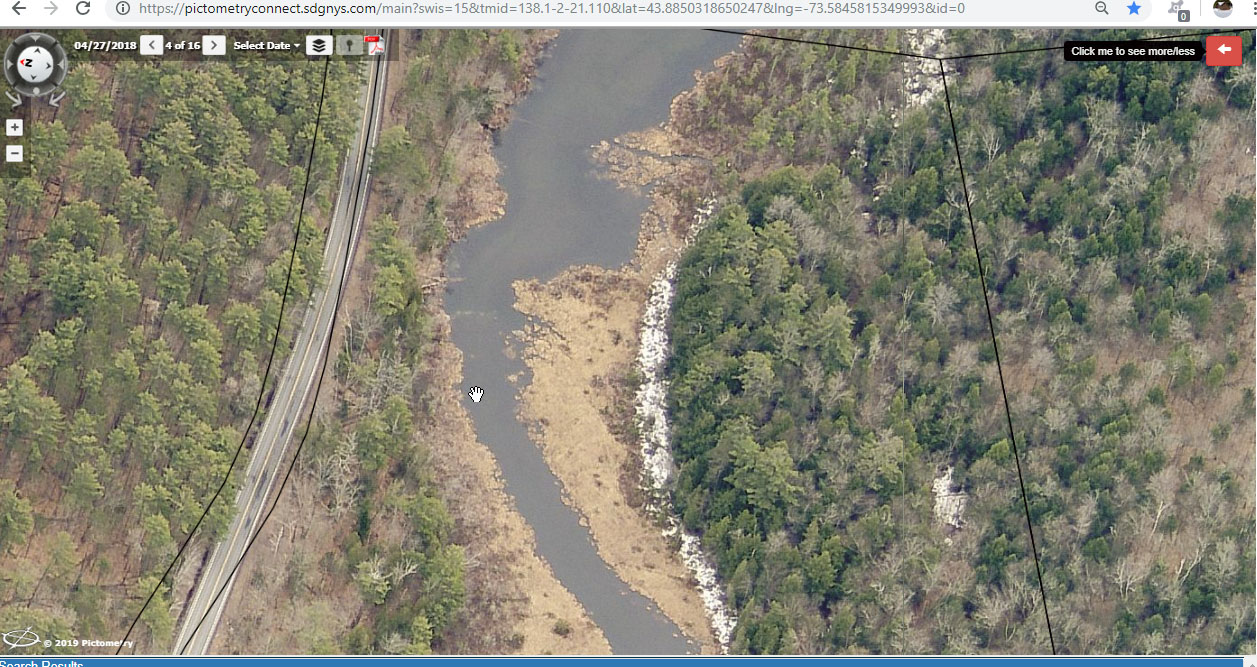
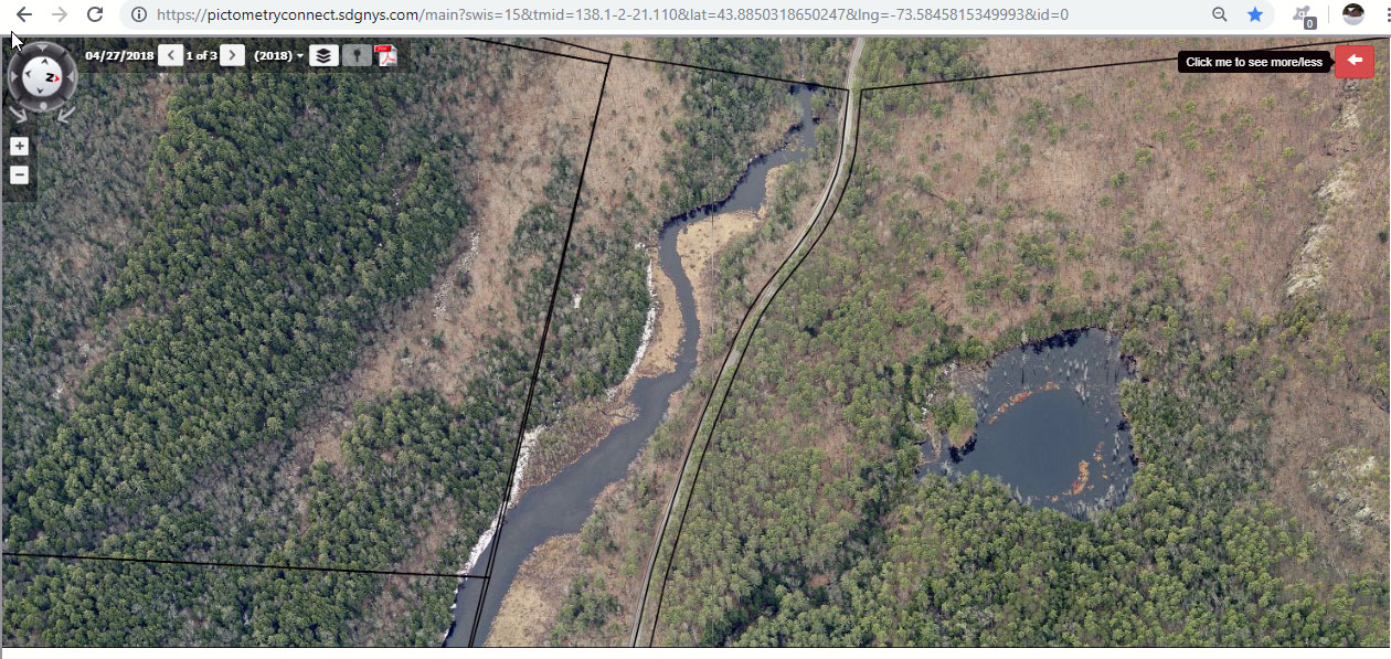
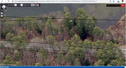
2018-4-27 area for beaver dam in channel GIS Viewer
 |
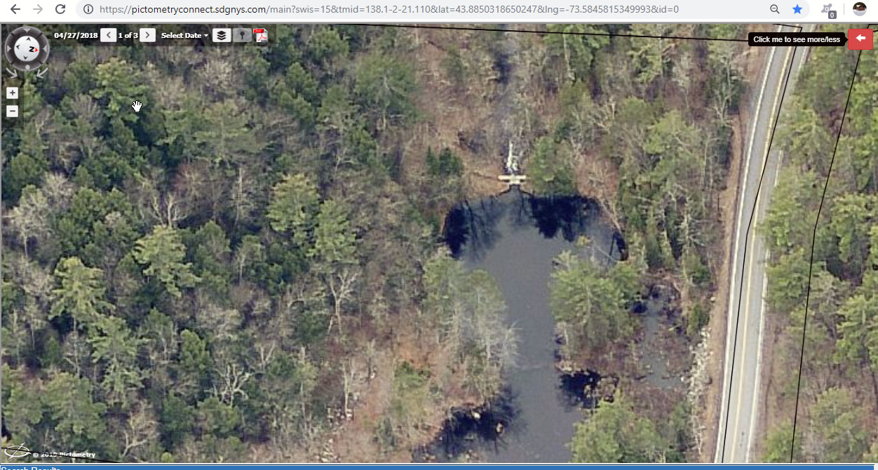
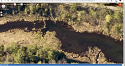
2018-4-27 EL dam area GIS Viewer
 |
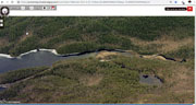
2018-4-27 EL Dam overview GIS Viewer
 |
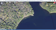
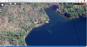
2018-4-27 EL outflow boat launch to dam GIS Viewer
 |
2018-4-27 EL outflow causeway to Dam looking north GIS Viewer
 |
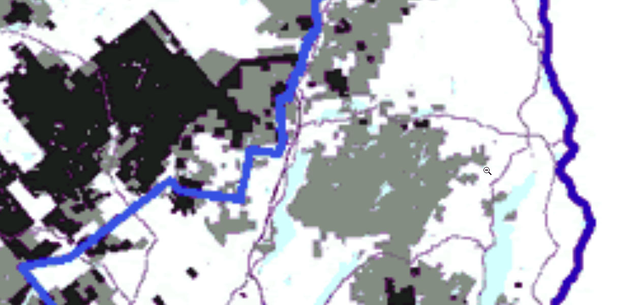
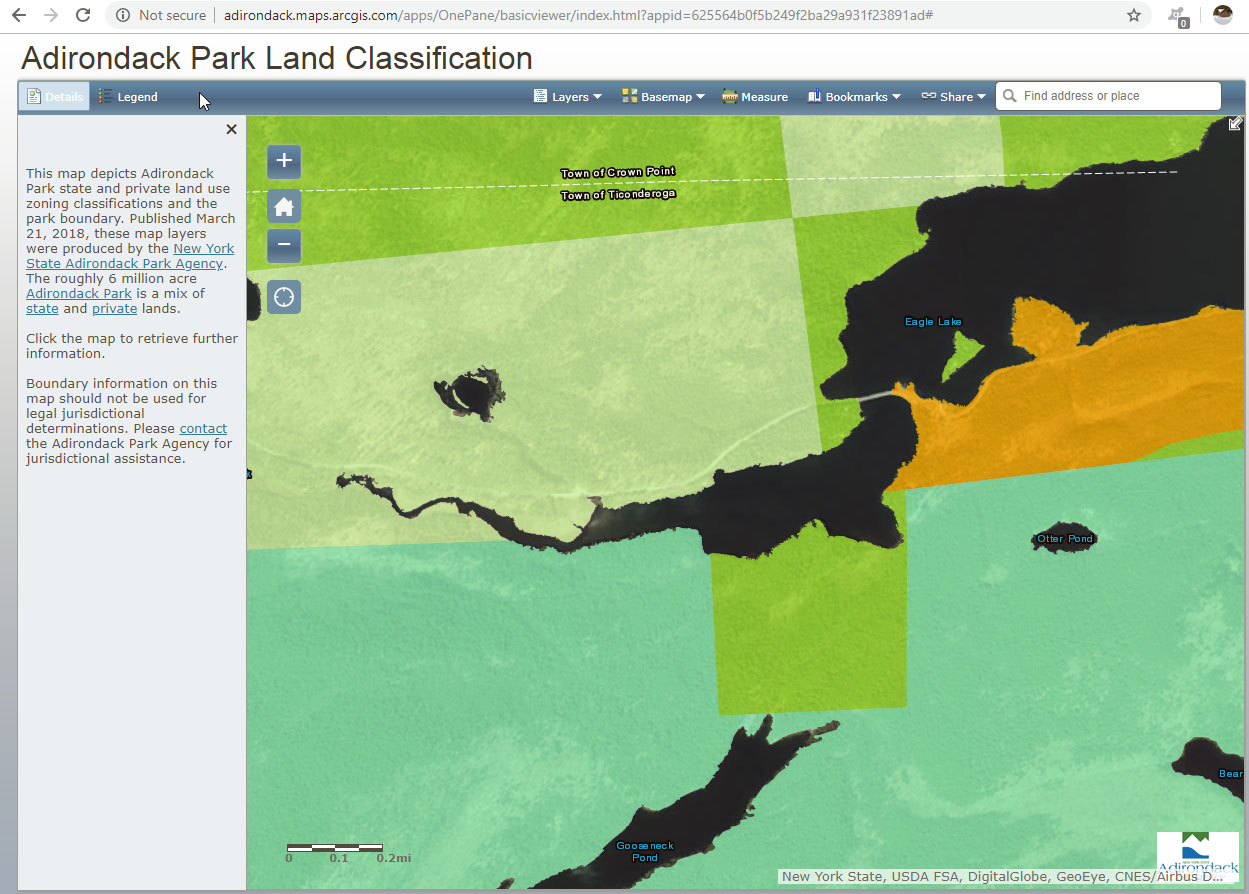
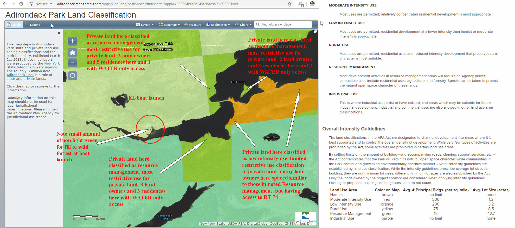
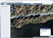
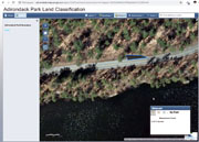
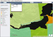
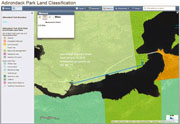
201X Beaver Dam at western end of outflow Adirondack Park Land Classification
 |
201X dam at western end of outflow-Adirondack Park Land Classification
 |
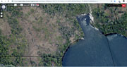
| Boat Launch Images |
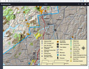
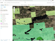
2018 boat launch area land use classification 12_46_35-Adirondack Park Land Classification
 |
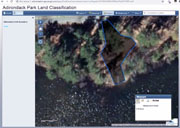
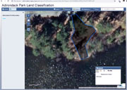
2018 boat launch area land use classification note boat launch specific is Pictomerty Adirondack Park Land Classification
 |
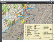
2018 boat launch area land use classification with residence notes RT 12_46_35-Adirondack Park Land Classification Large Web view
 |
2018 boat launch area land use classification with residence notes RT 12_46_35-Adirondack Park Land Classification
 |
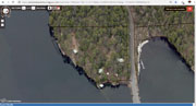
2018-4-24 boat launch view to show parking GIS Viewer
 |
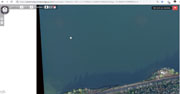
2018-4-27 boat launch and west end of lake GIS Viewer
 |
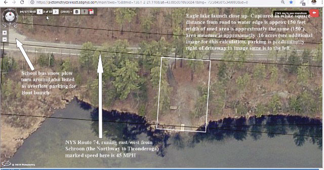
2018-4-27 Boat launch close up GIS Viewer with size mark-up RT Large Web view
 |
2018-4-27 Boat launch close up GIS Viewer with size mark-up RT
 |
2018-4-27 Boat launch close up GIS Viewer
 |
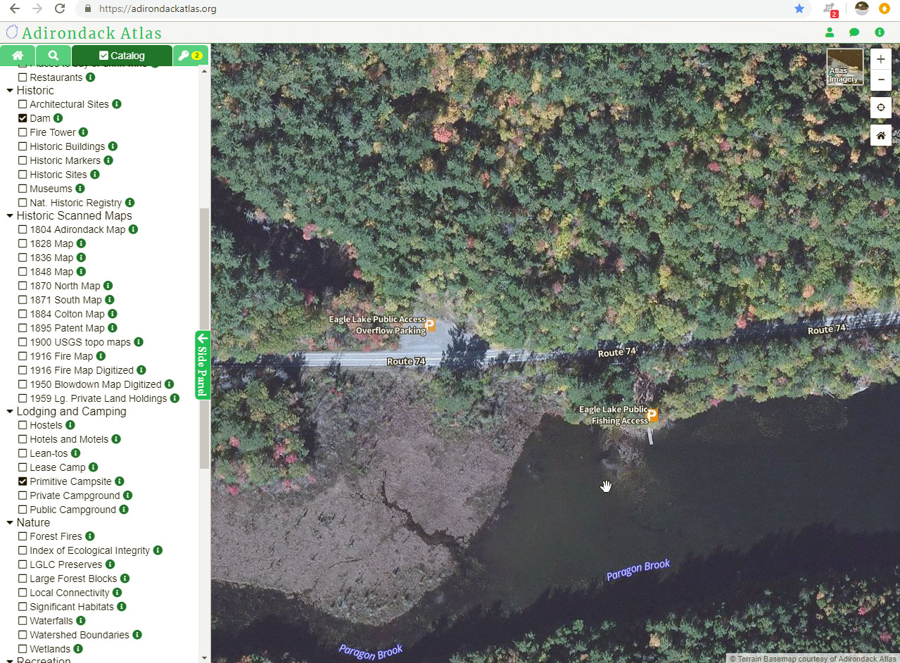
2018-4-27 EL boat launch with surrounding property boundaries causeway to launch GIS Viewer
 |
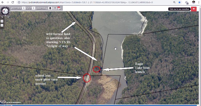
2018-4-27 EL boat launch and snowplow turn around close up GIS Viewer
 |
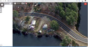
2018-4-27 EL boat launch looking south Shows parking GIS Viewer
 |
2018-4-27 EL Boat launch with boundaries Lisel to launch GIS Viewer
 |
2018-4-27 EL boat launch with car for scale GIS Viewer
 |
2018-4-27 EL boat launch with surrounding property boundaries included GIS Viewer
 |
2018-4-27 EL boat launch with surrounding property boundaries included Identifiers included RT GIS Viewer Large Web view
 |
2018-4-27 EL boat launch with surrounding property boundaries included Identifiers included RT GIS Viewer
 |
2018-5-12 EL boat launch with Vehicle GIS Viewer
 |
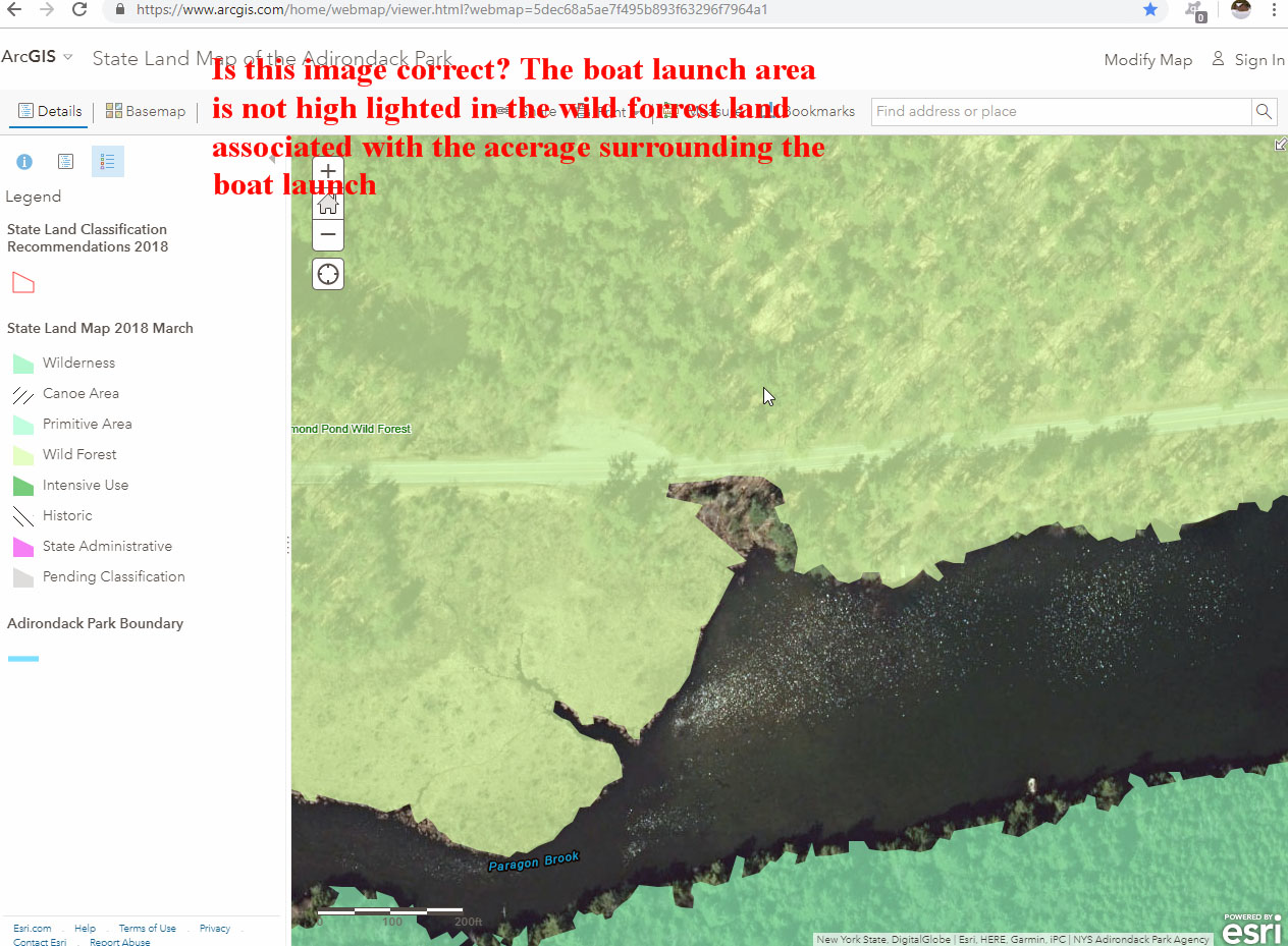
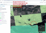
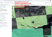
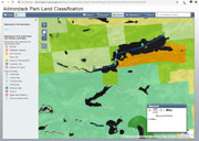
Boat launch area not high lighted as being in wild forest land classification Large Web view
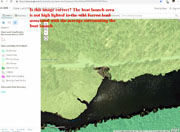 |
Boat launch area not high lighted as being in wild forest land classification
 |
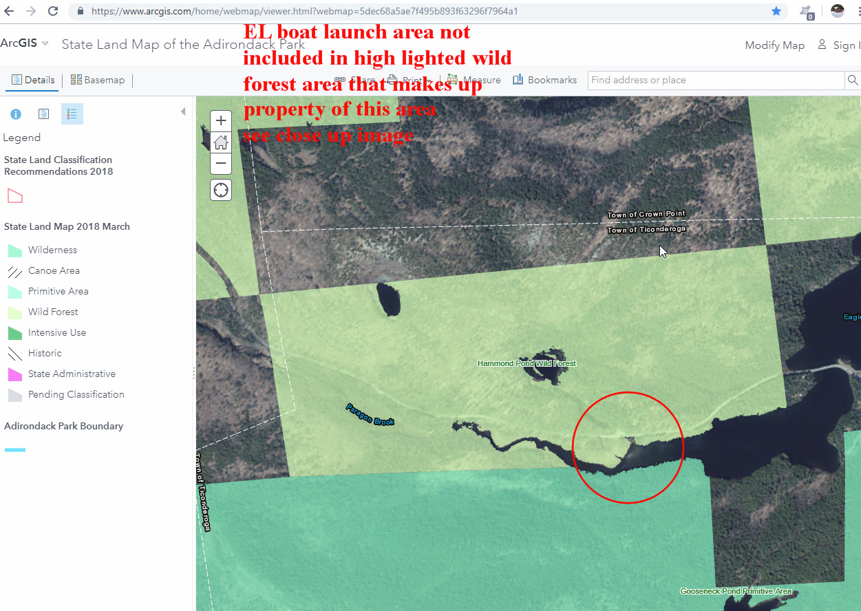
boat launch area not high lighted over all image Large Web view
 |
boat launch area not high lighted over all image
 |
| Camping Distance at Beach |
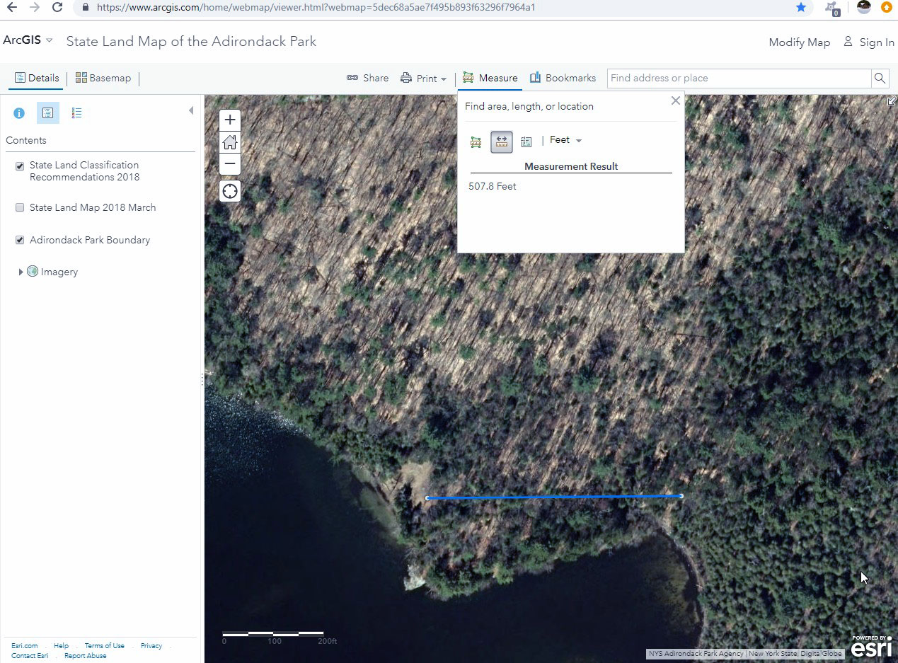
100 foot camping set back measure 14_10_45-ArcGIS - State Land Map of the Adirondack Park
 |
100 foot camping set back measure 14_10_45-ArcGIS - State Land Map of the Adirondack Park_1
 |
100 foot setback for lean-to 16_12_21-ArcGIS - State Land Map of the Adirondack Park
 |
150 set back for primitive camping 14_16_55-
 |
150 set back for primitive camping 14_16_55-_1
 |
150 setback for primitive camping 14_18_58-ArcGIS - State Land Map of the Adirondack Park
 |
150 setback for primitive camping 14_20_25-ArcGIS - State Land Map of the Adirondack Park
 |
150 setback for primitive camping 14_20_25-ArcGIS - State Land Map of the Adirondack Park_1
 |
500 foot marker for 2018 HPWF set back for 2nd camp ground 16_15_09-ArcGIS - State Land Map of the Adirondack Park
 |
500 foot marker for 2018 HPWF set back for 2nd camp ground 16_15_09-ArcGIS - State Land Map of the Adirondack Park_1
 |
600 foot marker for 2018 HPWF set back for 2nd camp ground 16_18_47-ArcGIS - State Land Map of the Adirondack Park
 |
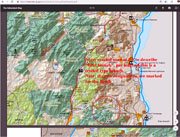
existing picnic and swim areas marked
 |
existing picnic and swim areas marked_1
 |
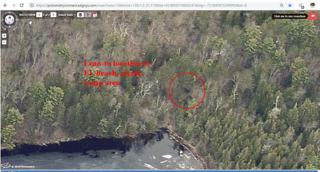
Lean-to location for set back measure
 |
Lean-to location for set back measure_1
 |
| Camping Map Boat Launch Locations and Designations |
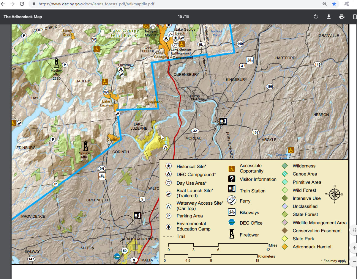
camping map legend block 10_17_20-The Adirondack Map Large Web view
 |
camping map legend block 10_17_20-The Adirondack Map
 |
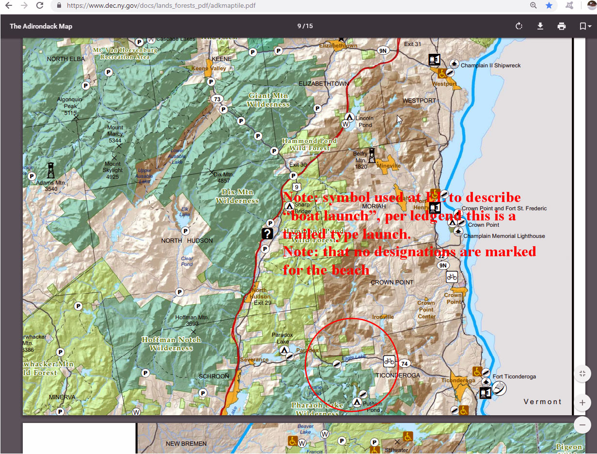
Eagle Lake boat launch symbol image Large Web view
 |
Eagle Lake boat launch symbol image
 |
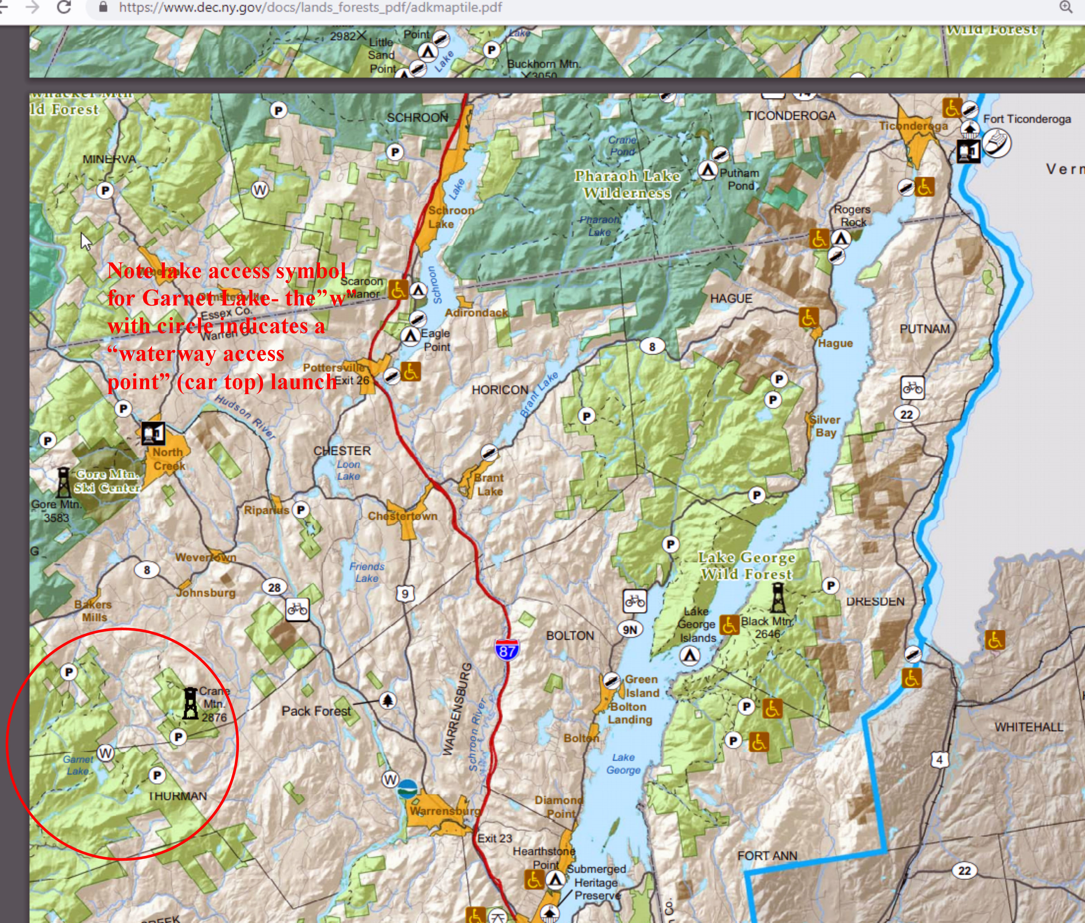
Garnet lake boat launch symbol image Large Web view
 |
Garnet lake boat launch symbol image
 |
legend stamp of map date 2009-December 10_22_56-The Adirondack Map Large Web view
 |
legend stamp of map date 2009-December 10_22_56-The Adirondack Map
 |
Loon Lake shown without a boat launch Large Web view
 |
Loon Lake shown without a boat launch
 |
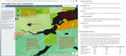
The Adirondack camping paper Map 15 pages
 |
| Milfoil and Mat Images |
2006-5-5 center of the lake milfoil patch GIS Viewer
 |
2006-5-5 matts at Hurd point GIS Viewer
 |
2010-11-21 center lake 3 milfoil patch GIS Viewer
 |
2010-11-21 center of lake milfoil close up GIS Viewer
 |
2010-11-21 center of the lake 3 milfoil patches GIS Viewer
 |
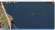
2010-11-21 image of Barwig boat house area with mats
 |
2010-11-21 image of ti bay with mats
 |
20106-5-5 Beach w rock and milfoil GIS Viewer
 |
2017-5-12 cent of the lake milfoil close up rock on left GIS Viewer
 |
2017-5-12 center lake milfoil patch GIS Viewer
 |
2017-5-12 center of the lake 3 milfoil patches GIS Viewer
 |
2017-5-12 center of the lake and west milfoil patch GIS Viewer
 |
2017-5-12 center of the lake milfoil 1-GIS Viewer
 |
2017-5-12 center of the lake milfoil can see rock on left GIS Viewer
 |
2017-5-12 center of the lake _west patch and Hannan milfoil GIS Viewer
 |
2018-4-27 center lake milfoil through the ice GIS Viewer
 |
2018-4-27 center of lake milfoil through the ice GIS Viewer
 |
2018-4-27 center of the lake milfoil through the ice 1-GIS Viewer
 |
2018-4-27 center of the lake milfoil through the ice 3-GIS Viewer
 |
2018-4-27 center of the lake milfoil through the ice GIS Viewer
 |
2018-5-12 center of the lake milfoil 4-GIS Viewer
 |
milfoil patches center of lake-unknown date 11_46_54-Adirondack Atlas
 |
size of state land at Barwig-Alden 11_12_17-ArcGIS - State Land Map of the Adirondack Park
 |
| EL Boat Launch Area Measurements For Size |
boat launch all acre measurement 10_12_22-ArcGIS - State Land Map of the Adirondack Park Large Web view
 |
boat launch all acre measurement 10_12_22-ArcGIS - State Land Map of the Adirondack Park
 |
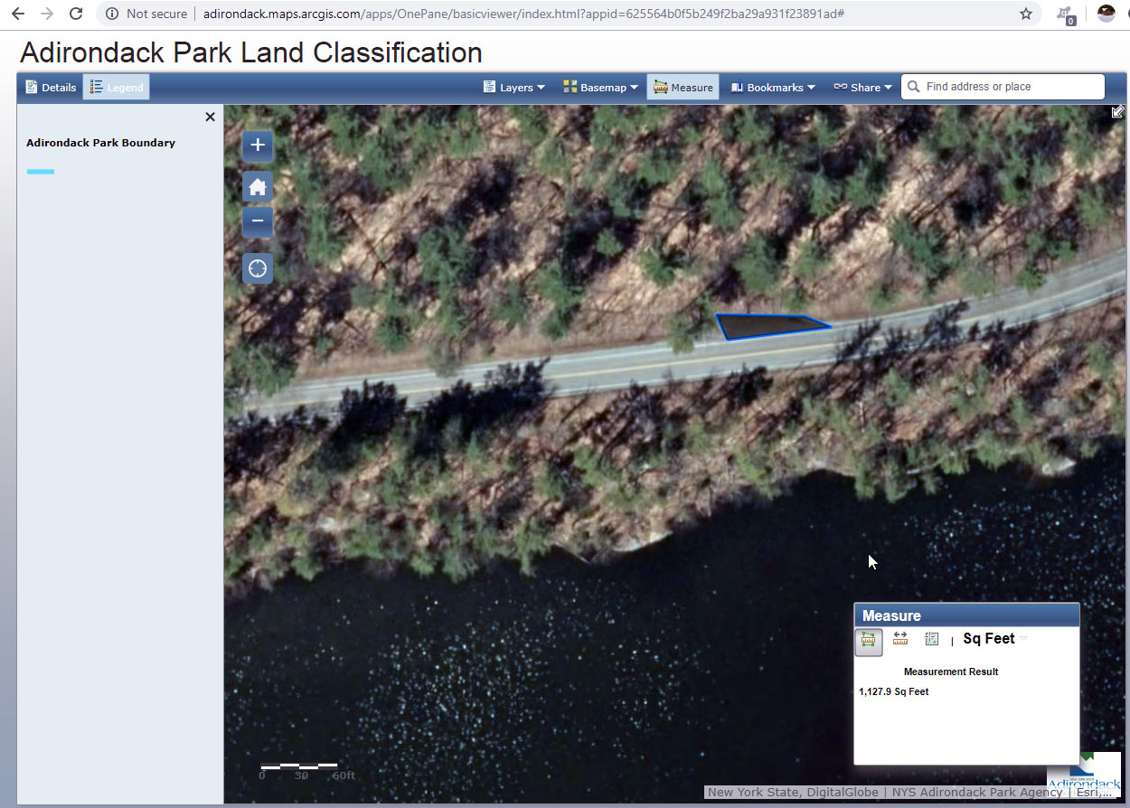
Boat launch site specific measure acre 10_14_07-ArcGIS - State Land Map of the Adirondack Park
 |
Boat launch site specific measure square yards 10_14_07-ArcGIS - State Land Map of the Adirondack Park
 |
boat launch specific close up view of area measure 20_20_18-Adirondack Park Land Classification Large Web view
 |
boat launch specific close up view of area measure 20_20_18-Adirondack Park Land Classification
 |
distance form road to water at boat launch 20_24_37-Adirondack Park Land Classification Large Web view
 |
distance form road to water at boat launch 20_24_37-Adirondack Park Land Classification
 |
distance from boat launch to beach 20_46_40-Adirondack Park Land Classification Large Web view
 |
distance from boat launch to beach 20_46_40-Adirondack Park Land Classification
 |
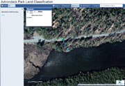
distance from boat launch to diving rock parking 20_55_37-Adirondack Park Land Classification
 |
diving rock parking measure 13 20_59_52-Adirondack Park Land Classification
 |
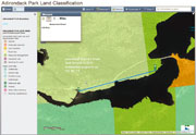
EL overall map 10_08_25-ArcGIS - State Land Map of the Adirondack Park
 |
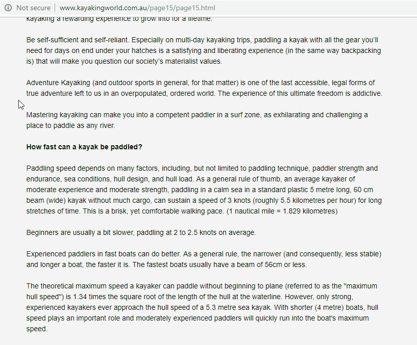
Kayak paddling speed 21_21_21-FAQs
 |
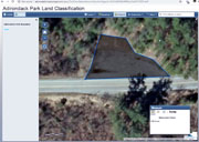
School bus snow plow turn around across from boat launch area 20_22_49-Adirondack Park Land Classification Web
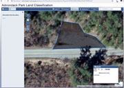 |
School bus snow plow turn around across from boat launch area 20_22_49-Adirondack Park Land Classification
 |
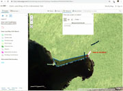
| EL Boat Launch Area Measurements to Local Features |
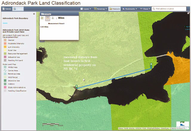
2019-02-02 boat launch from road map -Adirondack Park Land Classification
 |
2019-02-02 Boat launch to Forrest L. Resource management Adirondack Park Land Classification with notes RT
 |
2019-02-02 Boat launch to Forrest L. Resource management Adirondack Park Land Classification
 |
2019-02-02 Boat launch to Forrest L. Resource management Adirondack Park Large Web view
 |
Delineation of overflow parking at bus turn around for EL boat launch note fishing access with notes RT Large Web view
 |
Delineation of overflow parking at bus turn around for EL boat launch note fishing access with notes RT
 |
Delineation of overflow parking at bus turn around for EL boat launch note fishing access
 |